| Development
in Nepal: International Programmes |
 |
Nepal Development - Hydrolectric Projects |
 |
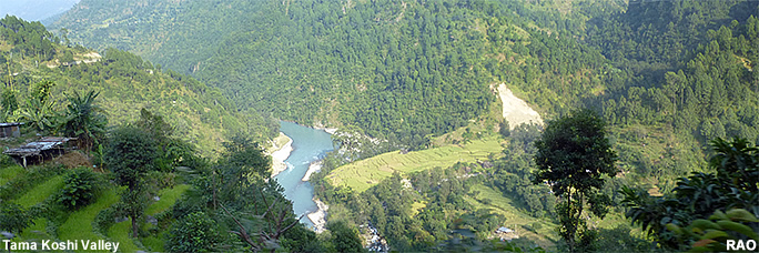
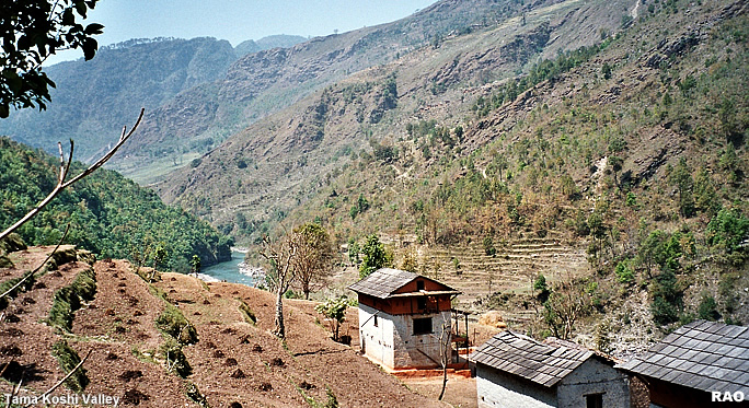
Tama Koshi Valley - Dolakha |
|
 |
Nepal Development |
|
|
 |
| Tama Koshi Hydroelectric Project |
The Tama Koshi river is a snow and glacier-fed perennial river, a tributary to the Sun Koshi river, which in itself is a major tributary to the Koshi River system. The Tama Koshi river has its upper reaches high in the Tibetan Himalayas. Rolwaling, Khare, Singati, Tineku, Jhyaku, Jugu, Gumu, Dholti, Maren, Charang, Gopi, Adheri, Milti, Khimti are some of the major tributaries of the river.
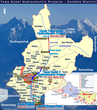
Project area
Laduk, Jhyaku, Jugu, Lamidada, Sunkhani, Chhetrapa, Namdu, Phasku, Garimudi, Powati , Bhirkot, Jhule, Japhe , Ghyang Sukathokar, Bhedpu, Melung, Shahare, Malu VDCs and Bhimeshwor Municipality in Dolakha district and Phulansi VDC in Ramechhap district.
|
| Tamakoshi 3 Hydroelectric Project (TA 3 HEP)
SN Power was awarded the Survey Licenses in March 2007 by the Government of Nepal to develop the Tamakoshi 2 (207 MW) and Tamakoshi 3 (275 MW) Hydroelectric projects in the Tama Koshi river of Dolakha district.
Based on a concept study results, SN Power applied for and was awarded an amended license for a single 600 MW daily peaking run-of-river project to be called the Tamakoshi 3 project (TA 3 HEP). The TA 3 HEP is planned for the Tama Koshi river stretch between Singati Bazaar and approximately 100 meter above Tama Koshi bridge at Kirnetar.
The technical feasibility of the project has been performed in the range from 600 to 1320 MW. Power will be evacuated at Dhalkebar. The bulk of the power is expected to be exported to India after supplying the domestic demand on a commercial basis. |
|
|
2012
|
 Tamakoshi III hydropower project is still waiting for the government's go-ahead. Tamakoshi III hydropower project is still waiting for the government's go-ahead. |
top
|
Report
|
 |
|
 |
|
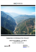
Tamakoshi 3 Hydrolelectric Project |

|
|
Executive Summary
|
Author: Sweco Norge
|
|
Final Report
|
November 2009
|
| with information on e.g. Physical Environment, Biological Environment, Vegetation and Forestry, Wildlife and Birds, Aquatic Ecology and Fisheries, Socio-Economic and Cultural Aspects, Agriculture. |
|

|

| 3.1 MB |
 |
|
|

|
top
|
more information
|

|
| Links |
 |
 |
 |
External
link |
|


