Maps of Nepal
Nepal
Maps
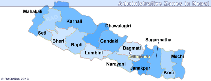
Adminstrative Zones
Airports
Arniko Highway
Kathmandu - Kodari
Charikot - Dolakha regional map
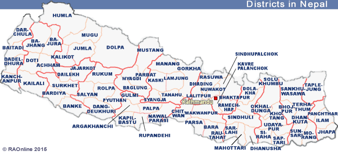
Districts, Administrative Zones
Dolakha District
Education, Healt and Poverty Maps
Ethnic Groups in Central Nepal Map
Ethnic Groups: Dalit People
Everest: Sagarmatha National park
Nepal
Maps
Kathmandu Area Map
Kali Gandaki River Map
Map of Nepal:
Rivers, cities ...
Nepal's Topography
Nepal's Physiographic Division Map
National Parks & Wildlife Reserves
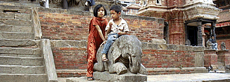
Patan Map
Physical Map
Population Density Map
River Basins Map
Tourist Spots
Southern Asia countries
Western Nepal - Far West
top
Nepal's Districts