|
Nepal Geology |
|
|
 |
| Kali
Gandaki Graben |
 |
 |
Regional
topographic patterns, as well as the landforms developed along recently
active faults, can provide important information about the deformation
field in active orogenic systems.
Tectonic geomorphology includes the field
mapping of geomorphic features, the systematic study of remote sensing
data, and the application of various geochronologic techniques to establish
constraints on the ages of young fault systems and the temporal evolution
of topography. |
|
 |
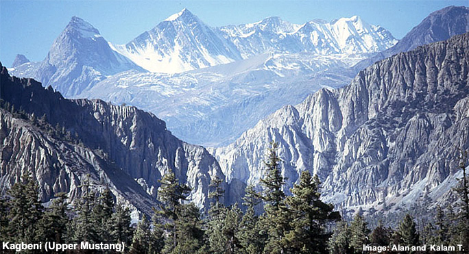
| Thak
Khola |
|
Recherchers
from MIT have been applying these techniques in Nepal in order to gain
a better appreciation for the neotectonic evolution of the central Himalaya.
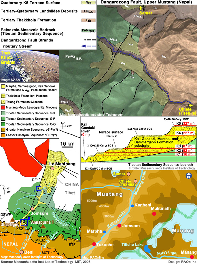
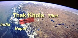
The
study area is in north-central Nepal, where a major NE-SW rift -
the Thak Khola Graben - trends directly into a trace of the South Tibetan
fault system .
The
principal growth fault of the graben is a steeply east-dipping structure
referred to as the Dangardzong fault (DF on the map at right). This structure
is marked along much of its length by a spectacular topographic escarpment
that is one of the most conspicuous Himalayan landforms on space imagery.
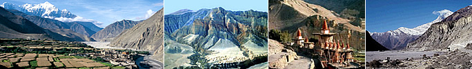
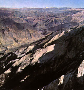
The
Kali Gandaki Graben hosts the upper reaches of the Kali Gandaki River,
one of the few drainage systems that flows from the Tibetan plateau, across
the Himalayan divide, and southward into the Indo-Gangetic foreland.
Bedrock
uplift and river incision have produced extremely good, three-dimensional
exposures of the Late Miocene-Quaternary sedimentary fill in the rift basin.
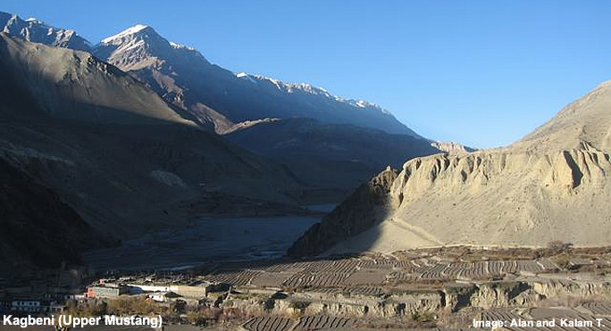
A series of cut-fill terrace surfaces have developed on the graben fill
as a consequence of episodic changes in the Kali Gandaki baselevel. Most
of these surfaces are marked by surface mantle deposits, and the 14C dating
of these (using both accelerator mass spectrometry and conventional techniques)
permits to use the terraces as time markers for exploring the neotectonic
evolution of the graben.
 |
| Source: Massachusetts Institute of Technology, März 2003 |
|
| Nepal's Geology and Earthquakes |
|
Nepal |
Fault
segments labeled DSWF (Dhaulagiri southwest fault) and STF are detachments
of the South Tibetan fault system. KSZ (Kalopani shear zone) and MKSZ (Modi
Khola shear zone) are reverse-sense structures, also part of the South
Tibetan system.
Detailed
mapping along the trace of the Dangardzong "fault" yielded ample evidence
for Quaternary oblique-slip along an array of discontinuous fault segments
ranging from a few meters to kilometers in trace length. In addition to
a large cumulative component of normal-sense displacement, these structures
also accommodated significant component of right-lateral displacement as
illustrated by offset of the slot canyons of tributaries of the Kali Gandaki
draining eastward across the escarpment.
 |
|
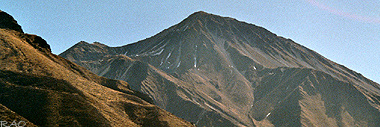
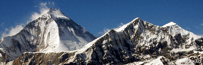
Dhaulagiri
and Tukuche Peak |
| more
information and pictures |
|
|
Links
|
|
 |
|
External
link |
|