SPEZIAL
Erdbeben in Nepal
Asien
Erdbeben
Nepal - Dolakha Distrikt
Krisenmanagement: Erdbeben vom 12. Mai 2015
Erdbeben Nepal 2015 - Lageentwicklung
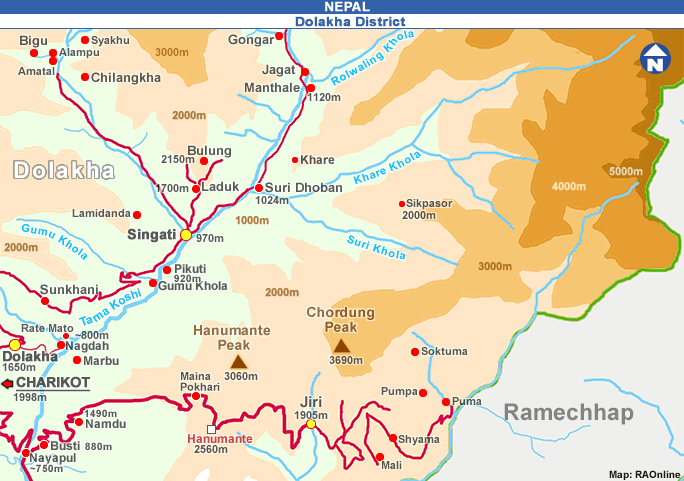
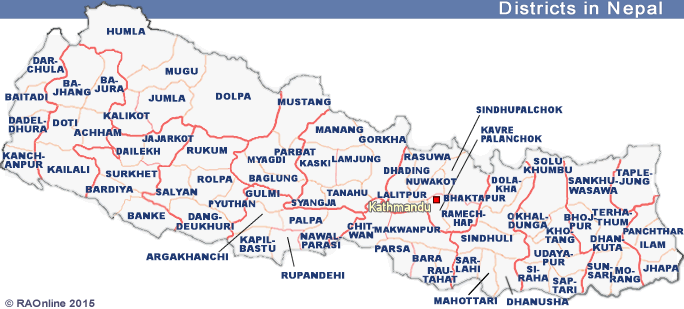
Dolakha Distrikt
Lagebericht vom 30. Oktober 2015
Informationen zum Erdbeben vom 12. Mai 2015
12. Mai 2015
M 7.3 Erdbeben im Dolakha Distrikt
Erdbeben
Nepal - Dolakha Distrikt
Krisenmanagement: Erdbeben vom 25. April 2015
Weitere Informationen
Themen
Naturwissenschaften + Technik
Geografie-Erdkunde
Klima
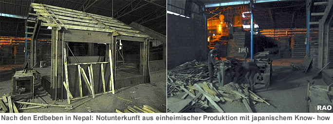
Erdbeben in Nepal 2015
Erdbeben vom 12. Mai 2015: Berichte aus dem Dolakha Distrikt
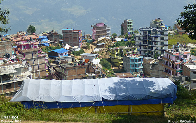
Lage am 30. Oktober 2015: Bericht aus der Region Charikot - Singati
Erkundungsreise von Kathmandu nach Charikot und Singati (Dolakha Distrikt)
Lage in Kathmandu
Lebensalltag in und um Charikot
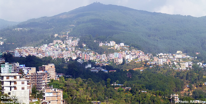
Lage in der Region Charikot
Lage in der Region Dolakha
Lage in der Region Singati
Information on Nepal (english)
Lamosangu - Jiri Road
Tsho Rolpa glacial lake
Tama Koshi - Dolakha
Tama Koshi Hydroelectric Projects
VIDEOS
Tama Koshi Valley
Lamabagar
Charikot - Gongar Road
Nepal
Erdbeben
25. April 2015
M 7.8 Erdbeben im Gorkha Distrikt
Informationen zum Erdbeben vom 12. Mai 2015
M 7.3 Erdbeben im Dolakha Distrikt
Nepal
nach oben
Weitere Informationen
Schweizer Hilfswerke
Entwicklung in Nepal
Informationen über Nepal
Information on Nepal (english)
RAOnline
NEPAL
Development in Nepal
Switzerland in Nepal
Nepal's Topography
Nepal's Geology
Nepal Trekkings in der Region von Bigu - Tama Koshi Valley (Dolakha Distrikt)
Tingsang La - Bigu - Rolwaling Valley
Kalinchowk
Hanumante - Chordung
Informationen und Bilder aus dem Dolakha Distrikt
Charikot
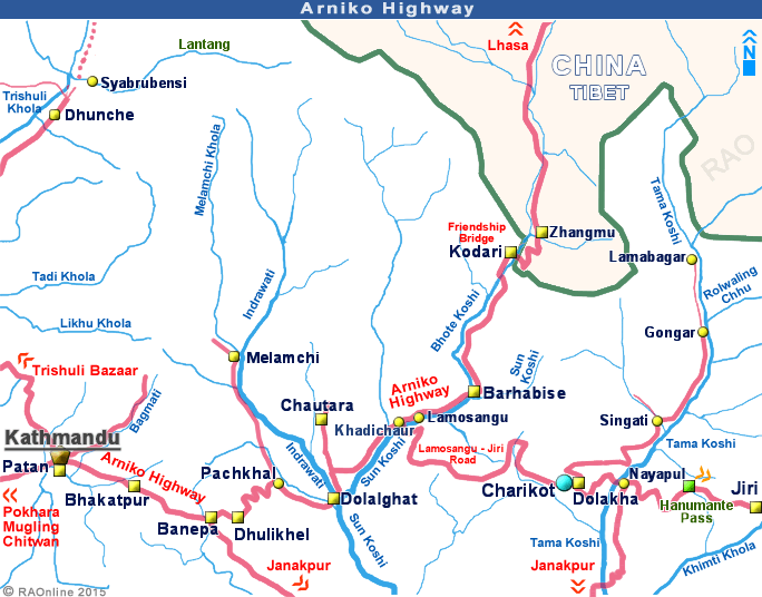
Arniko Highway
Lamosangu - Jiri Road
Charikot-Singati-Gongar Road
Tama Koshi - Dolakha
Tama Koshi Hydroelectric Projects
Tsho Rolpa glacial lake
Links
Externe Links
ACTED
NMA (Nepal Mountaineering Association)
UNO
UNICEF
FAO
UNDP
LogCluster
UNESCO
WFP
OCHA